
Follow a Suffolk County Street Record
Start with the full physical address, including the house number, suffix, postal place, ZIP, and town when known. Suffolk County has towns, villages, hamlets, and postal names that overlap, so a mailing city alone can point to the wrong local office. The Suffolk County Clerk Search Records Kiosk can resolve house number, street name, and ZIP to a tax-map row. That row supplies the district, section, block, and lot needed to keep the next searches tied to the same land.
- Use the address resolver, then save the matched municipality and tax-map components. For a condominium, use the exact Tax Map Number rather than a street search.
- Check the relevant town assessor for the current assessment roll or parcel card. It may identify an assessed owner, the parcel address, and a mailing address.
- Open the address in the county GIS viewer. Confirm the parcel ID, full address, municipality, ZIP, land-use field, and map update information before treating it as the correct parcel.
- Search the Clerk Kiosk by the exact tax-map ID, then read the latest recorded deed. A grantee received an interest, while a grantor transferred one.
- For voter context, use the New York self-lookup only for the individual voter path, or use the Board of Elections inspection route where the law permits it. Then compare historical address evidence with a reverse directory or telephone book.
Each stop has a narrow role. A parcel can anchor a location, a deed can document a transfer, and a voter record is an election-registration record. None turns into a complete household list. Note: Preserve the search date and source beside every result because assessment, map, recording, and directory dates measure different events.
Suffolk County Street Directory Sources
Address-keyed records are held by different custodians. The county maintains the tax-map framework and central land recordings, while the ten towns maintain their own assessment records. A useful Suffolk County street directory comparison states what each record actually identifies instead of treating every name as proof that a person currently lives at an address.
| Address record | Custodian | Street-level evidence | Access route |
|---|---|---|---|
| Assessment roll or parcel card | Relevant town assessor | Assessed owner, situs and mailing fields, parcel ID, class, exemptions | Town portal, counter, phone, or municipal request |
| Tax map and GIS parcel | Real Property Tax Service Agency and Suffolk GIS | Boundary, full address, municipality, ZIP, district-section-block-lot, land-use and update fields | Public map resources and viewer |
| Deed or mortgage index | Suffolk County Clerk | Grantor, grantee, document type, Liber/Page, recording date, and legal description | Free Kiosk index, image purchase, certified copy, or Clerk counter |
| Voter registration material | State and Suffolk Board of Elections | Registration information under Election Law, subject to inspection and use limits | Person-centered state lookup or supervised records route |
| Permit or code file | Town, village, or county office with jurisdiction | Address, applicant or owner field, work scope, issue, inspection, or status where retained | Local office or a precise FOIL request |
| Reverse directory or telephone book | Libraries and historical repositories | Historical subscriber or address association for a particular publication run | Catalog, microfilm, digitized collection, or local-history desk |
The county GIS owner point is associated with a parcel owner. It is not a current-resident field. Likewise, a deed identifies parties to a recorded instrument, not every person connected with the building. Those limits make the source label as important as the name itself.
Suffolk County Street Directory Towns
Find the town before requesting a property record. The County Clerk's Town Assessors directory routes property questions to Babylon, Brookhaven, East Hampton, Huntington, Islip, Riverhead, Shelter Island, Smithtown, Southampton, and Southold. There is no verified countywide owner-name search that replaces those town offices. A town assessor may have a portal, a counter record, or a request form, and the available years and copy terms can differ.
Postal geography complicates that choice. Commack spans Huntington and Smithtown; Hauppauge spans Islip and Smithtown; Lake Ronkonkoma reaches Brookhaven, Islip, and Smithtown. Eastport, Riverhead, Wading River, Wainscott, Holbrook, and Holtsville also have town-overlap context. For a Suffolk County street directory search, capture the GIS Municipality field and the district-section-block-lot along with the postal address. That combination is more reliable than a ZIP or hamlet name by itself.
Current assessment details can change without a transfer. Record the tax year and the exact label shown on the card. A mailing address may belong to an owner, representative, trust, corporation, or former contact, so it is a correspondence field rather than a statement of physical presence.
Suffolk County Street Directory Fields
The assessor portion of a Suffolk County street directory is town-specific, but the research captured a consistent set of fields to ask for. The source path is especially useful when an online form exposes only part of the parcel card. Use the exact SCTM or tax-map identifier when available, and keep leading zeroes and separators as shown.
| Field | Type | Availability | Use and limit |
|---|---|---|---|
| Owner name | Text | Town-specific | Confirm partial or last-name behavior with the town. |
| Property or situs address | Text | Town-specific | Use house number, street, and locality. |
| Parcel or SCTM | Text identifier | Available when known | Use exact district-section-block-lot. |
| Tax year | Selector or text | Varies | Current and prior rolls depend on the town. |
| Property class or land use | Selector or text | Varies | Codes and choices are town-specific. |
| Exemption | Selector or display | Varies | An assessment-program field, not conclusive occupancy evidence. |
The town assessor directory shows why a county street lookup needs an office check. The capture below shows the directory that supplies the ten separate assessor routes.
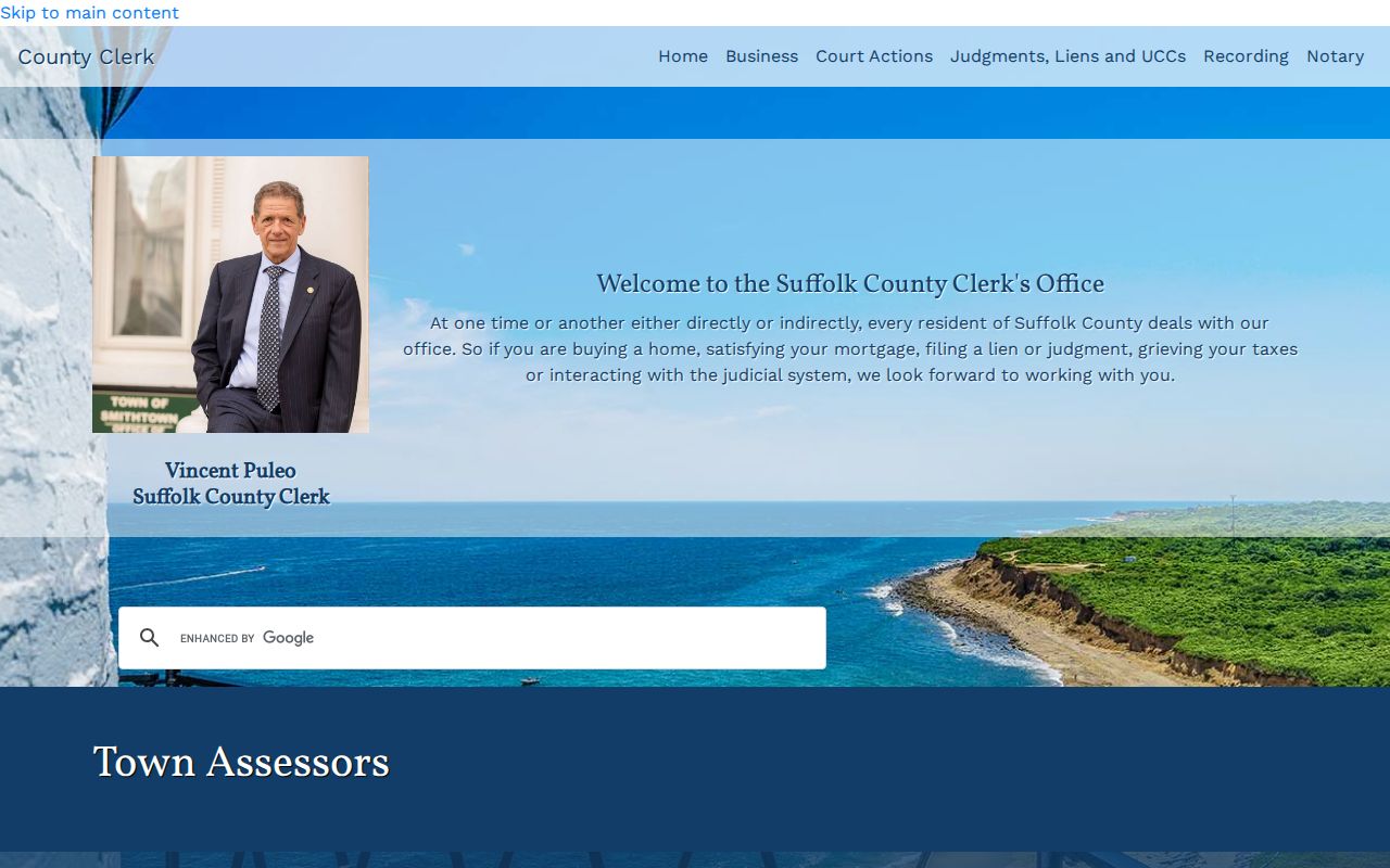
Use the listed assessor as the current assessment custodian after the GIS record identifies the municipality. If the online fields are incomplete, ask whether the roll or parcel card can be examined at the counter and whether a copy charge applies.
Map a Suffolk County Street
The Suffolk County GIS Viewer accepts an address or tax parcel, then supports map navigation and parcel clicks. Its public polygon fields include Parcel ID, district, section, block, lot, municipality, ZIP Code, full address, acreage, frontage, depth, land use, Last Update, Create Date, Title Flag, Status, Overlap, and deed acreage. The owner-point layer adds first name, last name, owner name, and parcel ID.
For a street-by-street pass, search a known address, click the matching polygon, and pan along the road. Read every parcel popup separately. Corner parcels, long lots, shared driveways, and frontage on another road can make a simple street assumption wrong. The public services cap responses at 2,000 records, so a broad resolver result should be narrowed by house number, exact tax map, or date rather than treated as a complete export.
The county's parcel polygon schema is the source for this captured layer view.
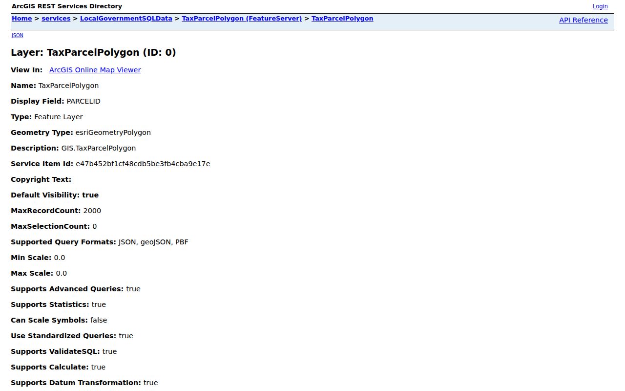
Parcel geometry gives address context, not a legal survey or a title opinion. A status value such as ACTIVE or RETIRED, and indicators such as Title Flag or Overlap, require a deed or filed-map check before drawing a conclusion.
Trace Suffolk County Streets by Deed
Once the parcel is stable, use the Clerk Kiosk Tax Map Search with the exact Property Tax Map ID. The Kiosk offers land-record searching and states that imaged land records run from 1987 forward. Its free information search does not ordinarily include document images. Deed results show Liber, Page, document type, grantee name, grantor name, Date Recd, notations, Certified Copy, and View Doc actions. The list can display only the first 2,000 records.
Read the purchase deed's legal description, then search the seller as a grantee in an earlier period. Compare legal descriptions, maps, and parcel changes at every step. A lot may be split or combined while the street address looks unchanged. Older material needs the historic path: identified FamilySearch copies include Suffolk grantor/grantee indexes from 1660 to 1926 and deed books to about 1900, with the Clerk counter, historical repositories, and microfilm as additional channels.
- Parcel
- A mapped unit of land with a local identifier. It is a bridge among maps, assessment records, and Clerk searches.
- Situs address
- The physical location assigned to the parcel. It can differ from the mailing address used for correspondence.
- Plat or filed map
- A recorded map showing lots, blocks, subdivisions, or boundaries. It can explain a lot change hidden by a familiar street address.
- Criss-cross directory
- A reverse-style directory that organizes entries by address or street, often for a limited place and publication year.
Suffolk County Street Directory Voter Limits
New York's Poll Site Search, Voter Registration and Mail Ballot Tracker is a person-centered service. It requires county, last name, first name, date of birth, address information, and ZIP, along with a browser-enabled response check. It does not provide an arbitrary street roster. A returned match concerns that voter's registration, polling, and mail-ballot information, not all individuals at an address.
Election Law provides for public registration lists and supervised inspection. Lists may be arranged by election district, street, and number, but use limits apply, protected identifiers are excluded, and a statewide voter-data request carries an elections-purpose statement. Suffolk County street directory research should therefore separate the personal self-lookup from the formal Board of Elections route. An inactive status is not proof that someone moved, and ballot choices are secret.
Read a Suffolk County Street in Time
A modern parcel map has a limited time depth. Historic aerials in the county GIS reach back to 1947 online, and the Town of Babylon local-history guide lists 1947, 1962, 1978, 1984, 2001, 2004, 2006, 2007, 2010, 2013, 2016, and 2020 imagery. The Cartography unit also holds aerial prints from various years between 1960 and 2001 by appointment. These layers can show when a road, structure, or subdivision appeared, but they do not name people.
For old street associations, use a reverse directory, telephone book, local newspaper, or library collection for the specific period and place. Patchogue business and residential directories are documented for selected years between 1864 and 1947, while regional telephone books cover selected early twentieth-century years. The Suffolk County Directory Book is the better route for collection detail; the address record still needs to be paired with the right town and year.
Suffolk County Street Directory Permit Files
Permit and code records are another address-based source, but their custodian depends on the town, village, or county department with authority over the location. A retained file may include an address, applicant or owner field, work scope, issue date, inspection status, or violation number. The available form and the release rules are local. Suffolk County does not have one verified countywide permit index that supplies the same fields for every street.
Start with the GIS Municipality field and the parcel's tax-map components. Ask the identified office whether it keeps an existing address-indexed file and what years are available. When a written request is needed, New York FOIL can seek an existing record with a precise address, date range, and format. It cannot require an agency to create a new owner history. A permit name is a record field, not a finding about present residence.
Suffolk County Street Directory Boundaries
Public property rolls do not identify every person connected with a building. A parcel owner can be different from the person receiving mail there, and a recorded deed can be older than a later transfer. DMV address data is protected, utility customer lists are not public household directories, and protected address programs limit release. Use the source that matches the question, then confirm an important record with its custodian.
Lawful use. Suffolk County address records are for personal, lawful research and public-record verification. Do not use an address, map result, or record trail to stalk, harass, intimidate, or harm anyone.
New York's Address Confidentiality Program provides qualifying participants with substitute-address treatment. A missing address can reflect a protected record, a stale record, an incorrect town choice, or a non-digitized file. It is never a reason to bypass a custodian's privacy rule.