
Sources for Suffolk County Neighbors
A block-level check is a chain of limited sources. The county GIS is the starting map, then the relevant town assessor or County Clerk can confirm the separate property record. Election records have a narrower statutory route. Civic groups offer public meeting and contact information, not a member roll. This order matters because it keeps a parcel boundary, an owner point, and a possible community connection from being treated as the same fact.
| Source | What It Shows About a Block | Access |
|---|---|---|
| Suffolk County GIS | Contiguous parcels, frontage, full address, municipality, ZIP, land use, status, and map geometry | Public viewer; click and pan method |
| GIS owner point | Parcel-linked first name, last name, and owner-name fields | Public map layer, not an occupant list |
| Town assessment roll | Assessed owner, mailing field, class, and possible exemptions | Town-specific portal, counter, or phone |
| Suffolk County Clerk index | Named parties to transfers, mortgages, liens, and related filings | Kiosk or counter; document access varies |
| Election-district list | Registered voter names and residence addresses where lawfully available | Board supervision and use restrictions apply |
| Civic organization page | Public contacts, meetings, boundaries, and local issues | Organization page or public meeting material |
An owner name is a property clue, not proof of who lives there. Mailing information can belong to a trust, representative, former owner, or out-of-area correspondence address. The land record and the assessment year should be recorded before drawing any conclusion about the people around a Suffolk County address.
Choose a Suffolk County Seed Parcel
Search the seed address in the Suffolk GIS Viewer by address or tax parcel, select the matching polygon, and save the Parcel ID, district, section, block, lot, municipality, full address, ZIP Code, land use, status, and last-update field. The county’s Real Property Tax Service Agency maintains the tax-map authority, while ten town assessors maintain assessment data. That division explains why there is no single verified countywide owner-name portal for every parcel.
When an address is ambiguous, the tax-map identifier is the safer bridge. Compare it against the Clerk’s Tax Map Number before following a transfer. A subdivision, condominium, parcel split, or merger can change the lot identifier while a familiar street address remains. For a condominium, the Clerk’s instructions call for the exact Tax Map Number rather than a street-only search. The legal description in the recorded instrument resolves those changes more reliably than a postal label.
Note: Preserve leading zeroes and separators in a district-section-block-lot value, because a shortened parcel number can point to the wrong Suffolk County record.
Map Suffolk County Neighbors
The public viewer supports an adjacent-parcel walk. It does not have a verified one-click block or radius report, so do not promise one. Lot shape and local geography matter. Include a parcel that shares a boundary or fronts the same segment, then make a clear choice about whether a corner lot or parcel across a public right-of-way belongs in the practical block being reviewed.
- Find the seed address or tax parcel in the county viewer and select its polygon.
- Pan or zoom one or two levels, then click each touching or facing parcel. Save its Parcel ID, district-section-block-lot, address, municipality, ZIP, land use, status, and update date.
- Open the owner-point layer where available and record the name fields exactly as displayed, keeping them attached to the Parcel ID rather than assuming an address match.
- Check the relevant town assessment route or the Clerk index for the separate ownership record. For a whole named street, use the fuller Suffolk County Street Directory record chain.
The resulting path is address to parcel, parcel to adjacent parcels, then each parcel to its own public ownership lead. It is not address to a complete list of people. A rail line, waterway, private road, or town boundary can make the map block different from the social block a resident has in mind.
Read Suffolk County GIS Fields
The GIS polygon layer supplies more than a boundary. Its published schema includes Parcel ID, district, section, block, lot, municipality, ZIP Code, full address, acreage, frontage, depth, land use, last update, create date, title flag, status, overlap, and deed acreage. The owner-point layer separately lists Parcel ID, first name, last name, and owner name. A popup can bring those layers together, but the polygon itself is not a certified assessment card.
| GIS Control or Field | Type | Required | Block-Review Use |
|---|---|---|---|
| Find address or place | Text or autocomplete | Optional | Locate the seed parcel by address or tax parcel. |
| Parcel ID | Text, map click, or popup | Optional | Carry the identifier from the selected polygon to the assessor or Clerk record. |
| Pan, zoom, and select | Map controls | Required for the method | Browse touching or facing parcels one at a time; no simple public radius control was verified. |
| Parcel popup | Display | Display | Read district, section, block, lot, municipality, ZIP, address, land use, status, and update fields. |
| Owner point popup | Display | Display | Read Parcel ID, first name, last name, and owner name as a property lead only. |
The published polygon and owner layers cap a response at 2,000 records while supporting public map queries and extracts. That technical limit is useful for broad parcel work, but a close block review is more accurate when done by individual map clicks. Historic aerials available online from 1947 can help date a road, subdivision, or structure. They do not identify people who used the property.
Suffolk County Voter Lists
New York Election Law §5-602 permits annual registration lists by election district and can arrange them by street and number. The public inspection rule is supervised by the Board of Elections. Election Law §3-220 excludes driver-license and non-driver ID numbers, Social Security numbers, and facsimile numbers. The statewide self-lookup has a different purpose: it requires a person’s county, name, date of birth, address information, ZIP Code, and a response challenge. It does not produce a neighborhood roster.
A request for broader voter registration data follows the NYS Board of Elections FOIL route and must include an elections-purpose statement under Election Law §3-103(5). Suffolk Board of Elections is the local route for county and election-district records. Registration lists cover registered voters only. They do not establish every household member, a current move, or a ballot choice. Protected voters and Address Confidentiality Program participants can have substitute or confidential address treatment.
Community Contacts for Suffolk Neighbors
Community organizations add a public contact layer to the parcel map. They are useful for meeting notices, newsletters, local history, public issues, and the way people describe a place. They should not be used as a directory of everyone who lives nearby. The records below identify the organization or public layer and its geographic scope without treating a membership list as public.
| Organization or Public Layer | Geographic Scope | Public Contact Use |
|---|---|---|
| North Fork Civics | Mattituck-Laurel, New Suffolk, Southold-Peconic, Cutchogue, Greenport, East Marion, Fishers Island, and Orient | Umbrella page for eight open-membership civic associations; public contacts and place context |
| Fire Island community links | Cherry Grove, Fair Harbor, FI Pines, Ocean Bay Park, Saltaire, Seaview, and related communities | County-linked association and community layer; member visibility was not verified |
| Suffolk County BIDs | Named districts including Bay Shore, Patchogue, Port Jefferson, Riverhead, Sayville, and Southold | Public district contacts and business-place context, not personal-residence evidence |
| Town historians and local-history rooms | Town, village, or hamlet boundaries | Repository leads, public archives, maps, and older street material |
The North Fork Civics coalition shows the kind of public civic directory that can add place context to a Suffolk County neighbors inquiry.
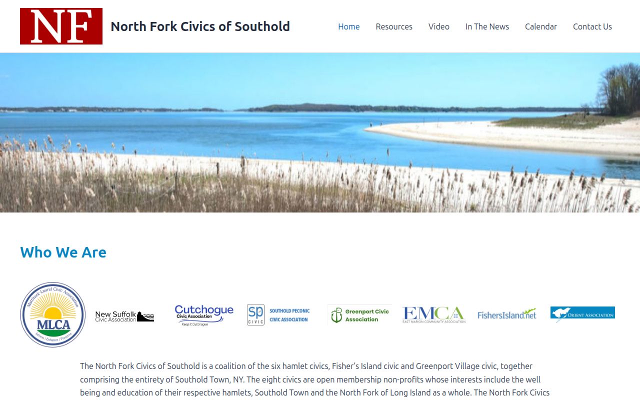
Its eight-association network covers Southold-area communities and describes open-membership civic groups. It does not establish a member roster or identify every resident of a hamlet.
Suffolk County Neighbor Geography
County, town, village, hamlet, tax district, and postal boundaries can all shape a nearby-record search. Commack, Hauppauge, Ronkonkoma, Riverhead, and Wading River are examples of places where overlapping town or district geography can make a familiar place name insufficient. Keep the municipality from the GIS selection alongside the ZIP Code and the tax-map identifier. That combination tells the researcher which town assessor, permit office, or community source is likely to hold the next record.
Historic aerial imagery can help explain why a road or subdivision has a different form than older documents show. The Town of Babylon guide lists online imagery years from 1947 through 2020, and the county retains aerial material through its GIS and cartography resources. Use the imagery for land-use and structure continuity only. Aerials do not prove names, occupancy, ownership, or legal boundaries.
Official Sources and Neighbor Tools
Official records and commercial neighbor-tool categories answer different questions. A compiled tool may combine old addresses, public filings, purchased data, and inferred connections, yet its sources, freshness, and identity matching are often opaque. It should not be treated as a primary block source. The official path documents the parcel map, then checks the relevant assessor or Clerk record, uses Board of Elections material only within its lawful purpose, and asks a library or historical society for dated street material.
| Official Record Route | Commercial Neighbor-Tool Category |
|---|---|
| Named custodian, documented fields, source date, and a channel for a copy or correction | Compiled address and relationship claims with unclear matching and update methods |
| Parcel, owner, deed party, or election-district evidence with stated legal limits | May merge same-name people or retain stale entries; not proof of present residence |
| Privacy rules and confidential-address programs remain in force | An opt-out display choice does not alter the original government record |
For another official but narrow name-and-location service, the New York State Comptroller’s unclaimed-funds search offers name, city, and ZIP refinement when a claimant looks for property.
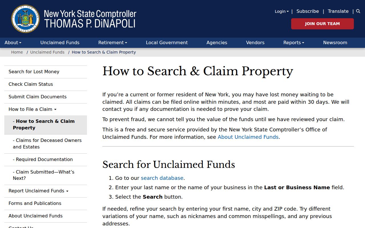
That search requires claim review and proof of entitlement. It is not a Suffolk County neighbor record and should never be used to identify, contact, or make assumptions about people around an address.
Privacy Limits for Suffolk Neighbors
A public parcel or deed record does not enumerate renters, household members, visitors, or everyone receiving mail. A permit may show an applicant, contractor, or owner field if the local form makes it public, but it does not establish an occupant. Motor-vehicle personal data is restricted by federal law, and utility-customer lists are not public household directories. New York FOIL can provide an existing agency record, but it does not require an agency to create a block list or release information made confidential by law.
New York’s Address Confidentiality Program protects actual addresses for qualifying participants through a substitute address and related safeguards. Never attempt to identify a confidential location through adjacent records. If an assessment, GIS, election, or Clerk entry appears wrong, bring the record number and the issue to the custodian that maintains it. A careful Suffolk County neighbors search ends at the boundary of what the record can responsibly show.
Lawful use. Use block records for personal, lawful research and public community context. Stalking, harassment, intimidation, and efforts to expose a protected address are prohibited.